Navigate to
PlatformPage
Crop IntelligencePage
ForestryPage
Grower's RevenuePage
Join the WaitlistForm
Privacy PolicyLegal
Biomass and carbon estimation from high resolution satellite imagery, across mass acreage.
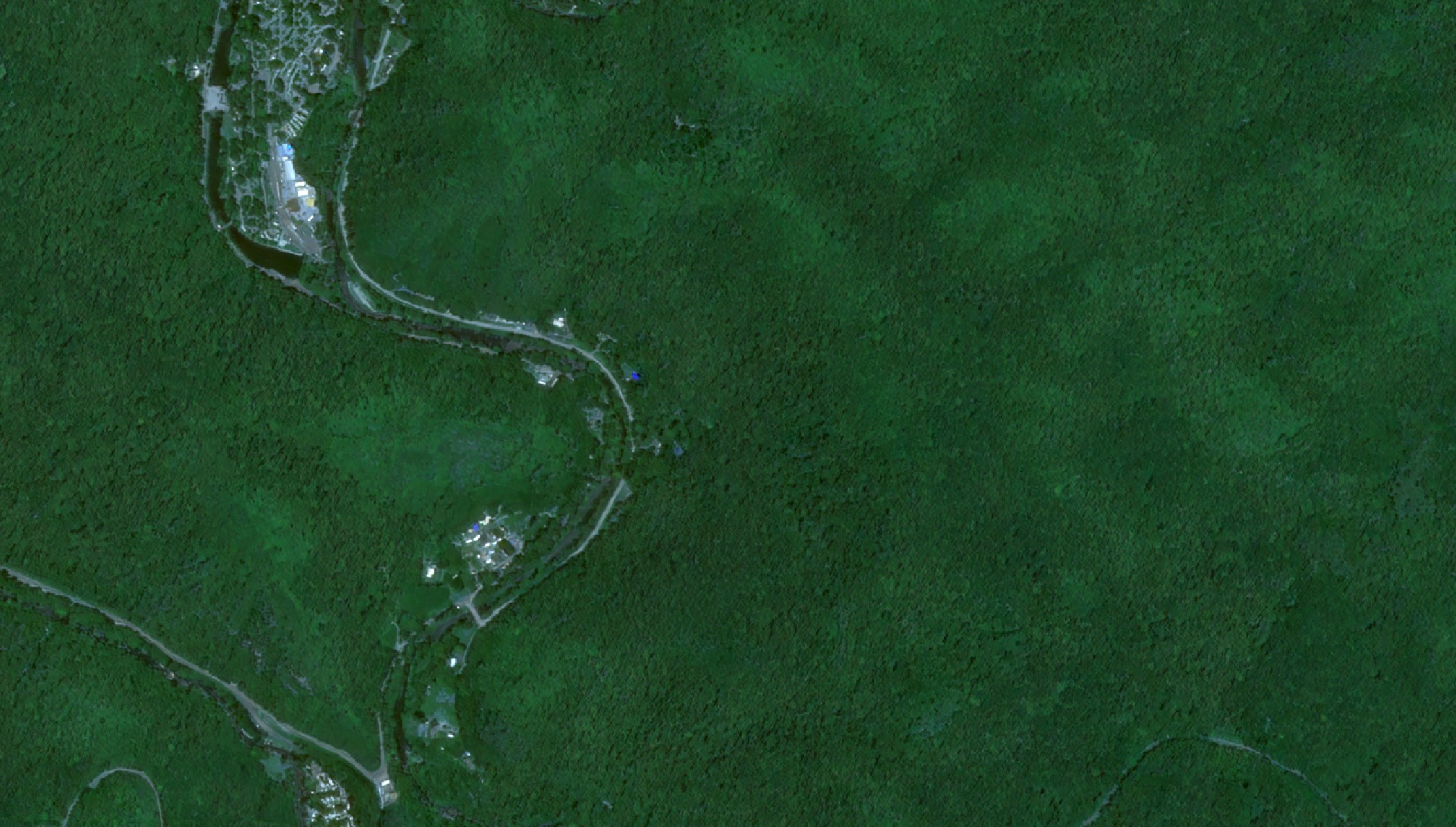 Satellite view
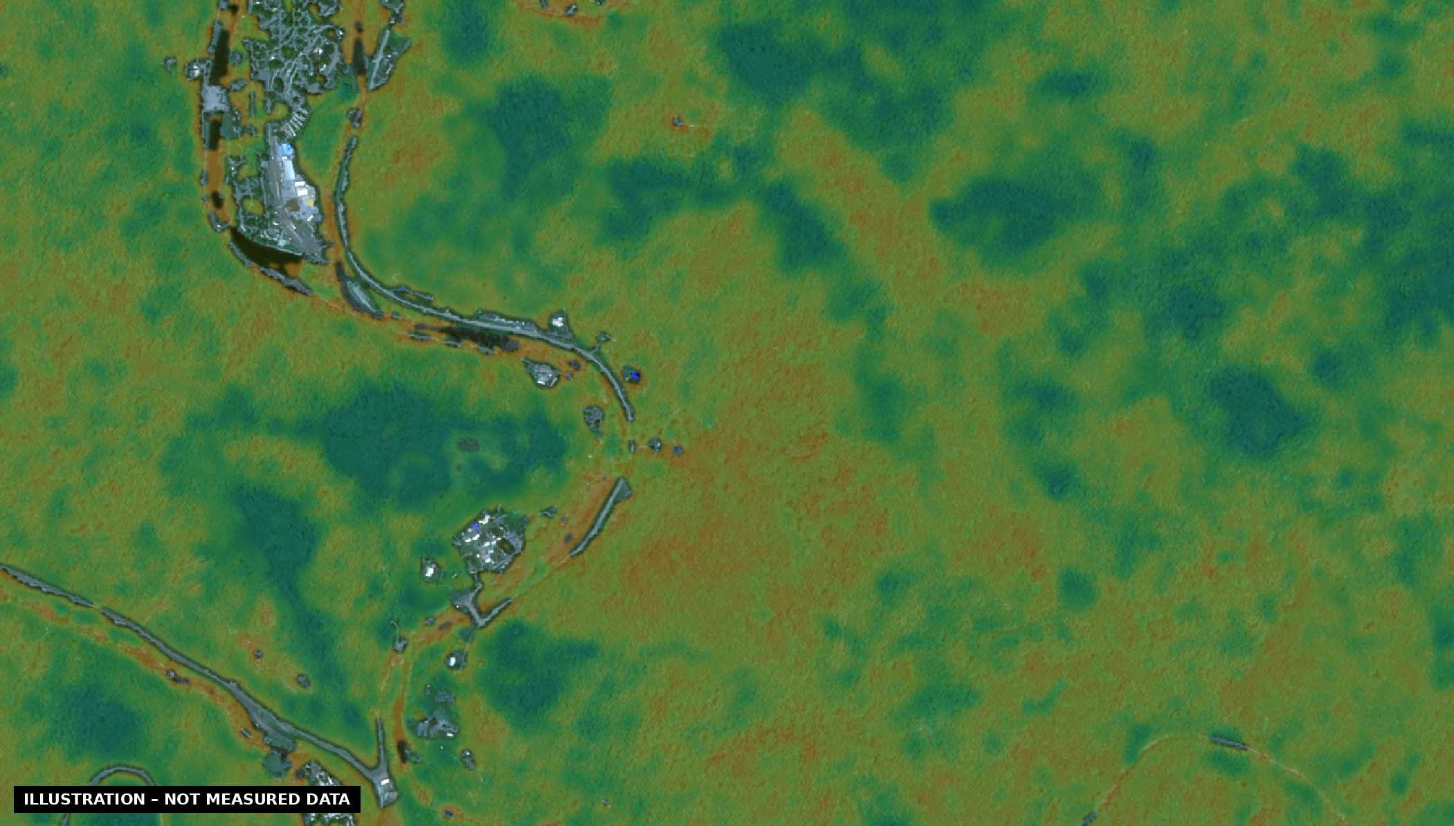
Illustrative biomass estimate
High resolution satellite imagery of forest, enhanced for display. Slide to see an illustration of how biomass and carbon estimates could be mapped. Illustration only – not measured data. Forest remote sensing is in development.
Estimating forest biomass and carbon from space, at scale, so landowners and researchers can see what their forests hold and how it changes over time.
We're developing this with researchers at a leading forestry research university, in remote sensing and forest bio-carbon estimation. The work is moving quickly.
We're working with top bio-credit frameworks to create a road to premium carbon credits.
Forest remote sensing is in development. Join the waitlist and tell us about your land – we'll keep you posted.
Join the Waitlist